FORT RICKEY
- Program
- Subject
- Location
- Lat/Long
- Grant Recipient
-
NYS Historic
-
Event, Site
- 5135 Rome-New London Rd, Rome, NY 13440, USA
- 43.224219, -75.546377
-
Oneida County Historical Society
FORT RICKEY
Inscription
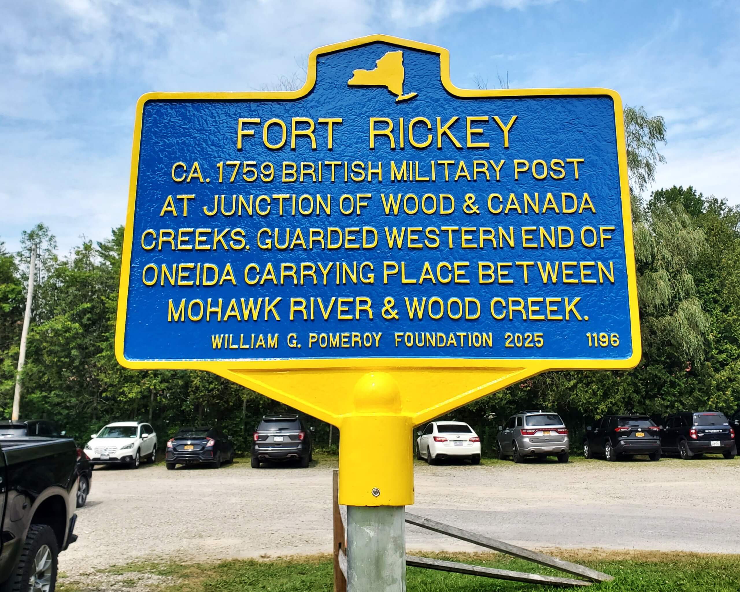
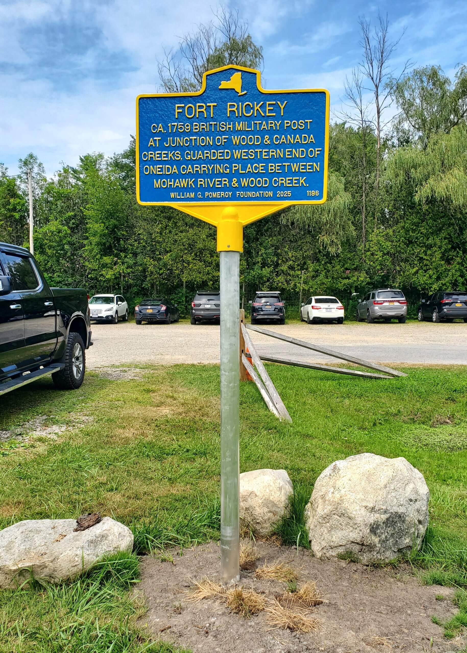
FORT RICKEYCA. 1759 BRITISH MILITARY POST
AT JUNCTION OF WOOD & CANADA
CREEKS. GUARDED WESTERN END OF
ONEIDA CARRYING PLACE BETWEEN
MOHAWK RIVER & WOOD CREEK.
WILLIAM G. POMEROY FOUNDATION 2025
The Oneida Carrying Place, or Oneida Carry, was an ancient portage path located between the Mohawk River and Wood Creek in what would become Oneida County, New York. Running between one to six miles in length depending on the season and landing point being used, the Oneida Carry was an important connecting point for people traveling via water between the Atlantic Ocean and Lake Ontario. At this location, people would land their vessels and carry them from the Mohawk River to Wood Creek, which then empties into Oneida Lake. In the 1750s, the Oneida Carry was located on land occupied by the Oneida of the Haudenosaunee, or the Iroquois Confederacy. The Oneida referred to the portage as Deo-wain-sta (Kandice Watson, “The Oneida Carry”), while the Oneida Carrying Place was the name used by the British.
Speaking to the strategic significance of the location as part of a supply route to the north, the British built several forts to guard the Oneida Carry during the French and Indian War. One of these forts, Fort Stanwix, was initially constructed from August to November 1758 and was located at the eastern end of the Carrying Place near the Mohawk River. Guarding the western end of the Oneida Carry was Fort Rickey, a small outpost to Fort Stanwix built circa 1759 at the junction of Wood and Canada Creeks.
The Oneida Carry served as an important travel and supply site for British expeditions further west against the French from 1758 to 1760 (National Park Service, “Fort Stanwix in the French & Indian (Seven Years) War”). At the end of the French and Indian War in 1763, Fort Stanwix remained under British control but was largely abandoned by 1766.
In November 1768 a council of Native Americans gathered at Fort Stanwix to meet with William Johnson, British Superintendent of Indian Affairs, Northern Department, to negotiate a boundary between Native American land to the west and British colonial land in the east. This resulted in the 1768 Boundary Line Treaty of Fort Stanwix. While the treaty included that the boundary line went “to Canada Creek where it emptys [sic] into the wood Creek at the West of the Carrying Place beyond Fort Stanwix” (“Treaty of Fort Stanwix”), the treaty was divisive, and the boundary line was not universally accepted. The Oneida and British disagreed about whether the line started on the east or west end of the Oneida Carry (National Park Service, “1768 Boundary Line Treaty of Fort Stanwix”), ultimately causing more conflicts.
With the outbreak of the American Revolution, the Continental Army took control of the abandoned Fort Stanwix. It was rebuilt and renamed Fort Schuyler. In a September 24, 1776 journal entry, Ebenezer Elmer, a lieutenant in the 3rd New Jersey Regiment of the Continental Army, noted that Fort Rickey, the former British military post where Canada Creek met Wood Creek was at that point “totally destroyed” (“Journal of Lieutenant Ebenezer Elmer,” Proceedings of the New Jersey Historical Society, Vol. III, No. 1, 1848, 28). Traveling through the state in 1807, Christian Schultz recorded viewing the “remains of Fort Rickey, a fortress of some consequence during the old Indian wars; but at present employed to a better purpose, being covered with a good orchard” (Christian Schultz, Travels on an Inland Voyage, 17).
By that point, the Western Inland Lock Navigation Company had constructed a canal through the new and growing community of Rome. The canal connected the Mohawk River to Wood Creek, making the Oneida Carry unnecessary (National Park Service, “Early New York State Waterways”).
As of 2025, a replica wall can be found at the site of the former Fort Rickey at Wood and Cananda Creeks. The replica was based on a plan for Fort Rickey that was drawn by British Major William Eyre, one of the engineers involved in the initial construction of Fort Stanwix in August 1758 (Crown Collection of Photographs of American Maps, Series I, Vol. 3, sheet 26).
Sources:
Christian Schultz, Travels on an Inland Voyage Through the States of New-York, Pennsylvania, Virginia, Ohio, Kentucky and Tennessee, published 1810.
Crown Collection of Photographs of American Maps, Series I, Vol. 3, edited by Archer Butler Hulbert, 1907.
“Journal of Lieutenant Ebenezer Elmer, 3rd New Jersey Regiment,” in Proceedings of the New Jersey Historical Society, Vol. III, No. 1, 1848.
Kandice Watson, “The Oneida Carry; an Important Link in Haudenosaunee Travels,” oneidaindiannation.com/the-oneida-carry-an-important-link-in-haudenosaunee-travels/.
National Park Service, “1768 Boundary Line Treaty of Fort Stanwix,” nps.gov/articles/000/1768-boundary-line-treaty-of-fort-stanwix.htm.
National Park Service, “Early New York State Waterways & the Inland Lock & Navigation Company,” nps.gov/articles/000/early-new-york-state-waterways-the-inland-lock-navigation-company.htm.
National Park Service, “Fort Stanwix in the French & Indian (Seven Years) War: 1758-1760,” nps.gov/articles/000/fort-stanwix-in-the-french-and-indian-seven-years-war-1758-1760.htm.
“Treaty of Fort Stanwix, or The Grant from the Six Nations to the King and Agreement of Boundary – Six Nations, Shawnee, Delaware, Mingoes of Ohio, 1768,” treatiesportal.unl.edu/earlytreaties/treaty.00007.html.