TOWN LINE
- Program
- Subject
- Location
- Lat/Long
- Grant Recipient
-
NYS Historic
-
Government
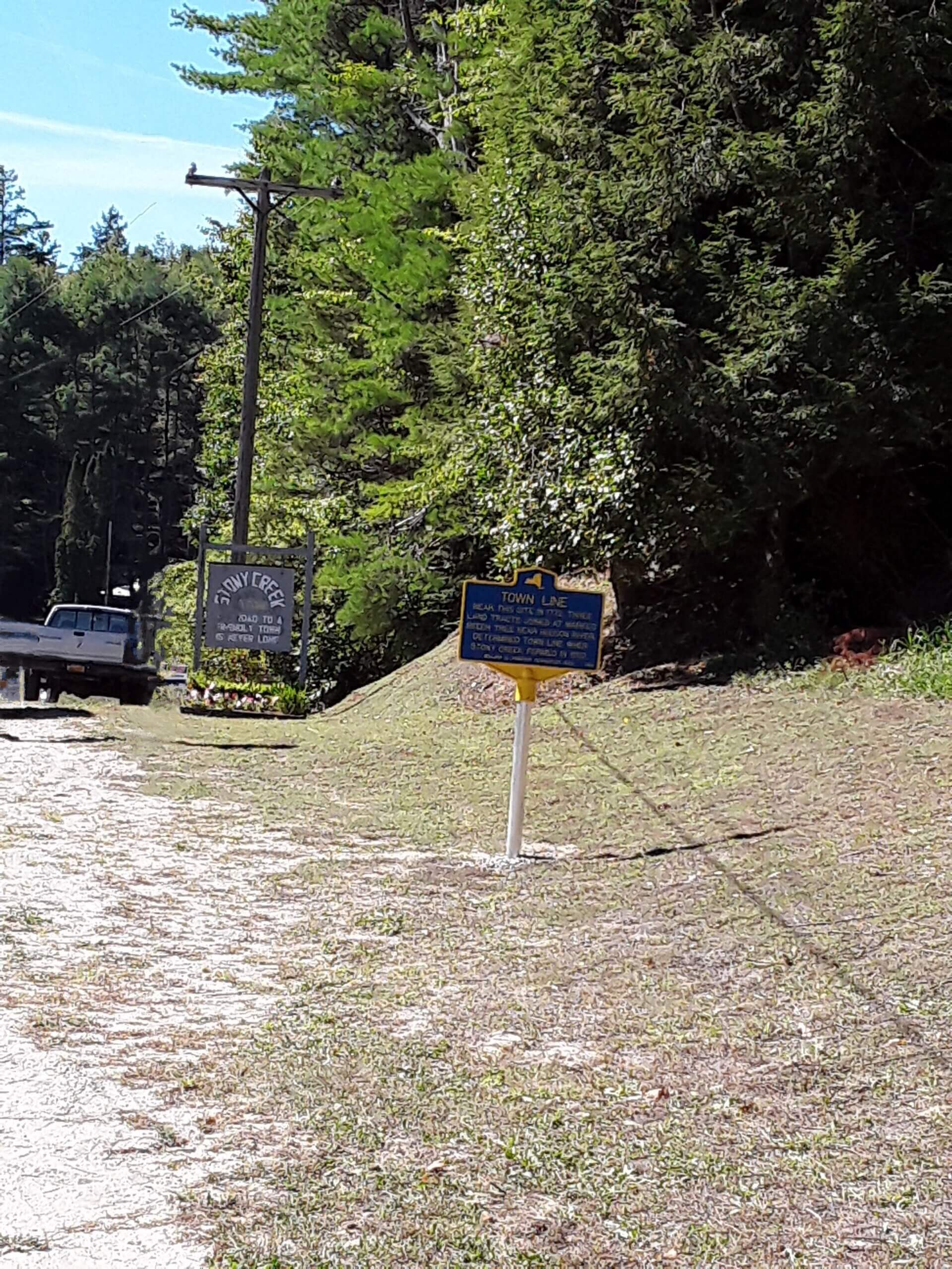
- 584 Warrensburg Rd, Stony Creek, NY 12878, USA
- 43.449682, -73.862123
-
Warren County Historical Society
TOWN LINE
Inscription
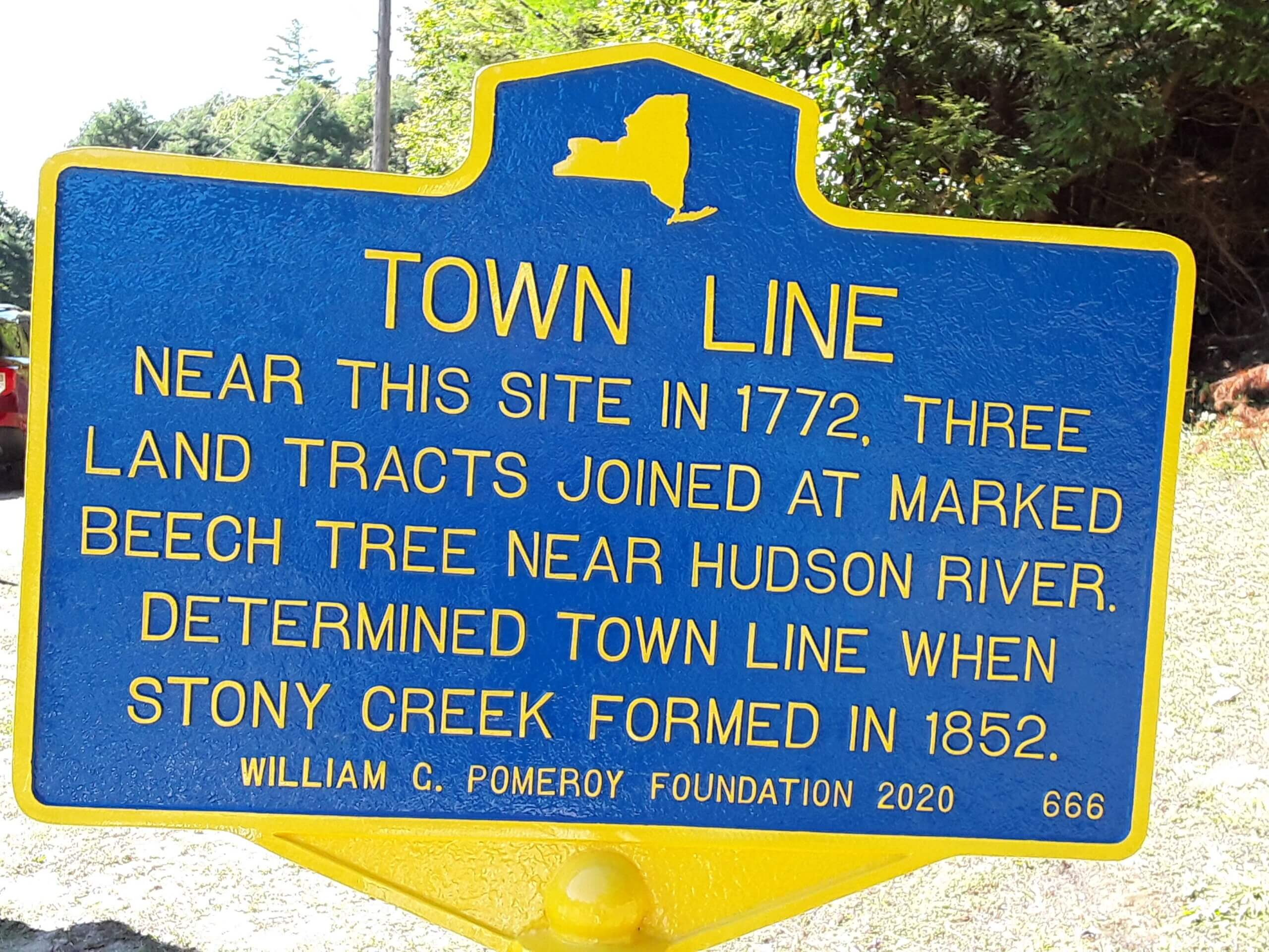
TOWN LINENEAR THIS SITE IN 1772, THREE
LAND TRACTS JOINED AT MARKED
BEECH TREE NEAR HUDSON RIVER.
DETERMINED TOWN LINE WHEN
STONY CREEK FORMED IN 1852.
WILLIAM G. POMEROY FOUNDATION 2020
Historically in New York State, when lands and lots were surveyed, often their dimensions or boundaries were distinguished in deeds by landmarks like a rock, an iron rod, or in some cases, a tree. Located near the Adirondack mountains in the Town of Stony Creek is one such site. In 1772 three land tracts, two parts of the Dartmouth Patent and the Township of Hyde, converged at the same point. It was described in Abstract of an Indian Deed in favor of Ebenezer and Edward Jessup and their associates, dated at Johnson Hall in July 1772:
A Certain unpatented tract of Land lying and being on the West Side of the Husdons River beginning at a beach Tree marked ET.W.I.E.
The distinguishing landmark mentioned in the deed was a beech tree near the Hudson River. This beech tree determined the town line when Stony Creek formed in 1852.