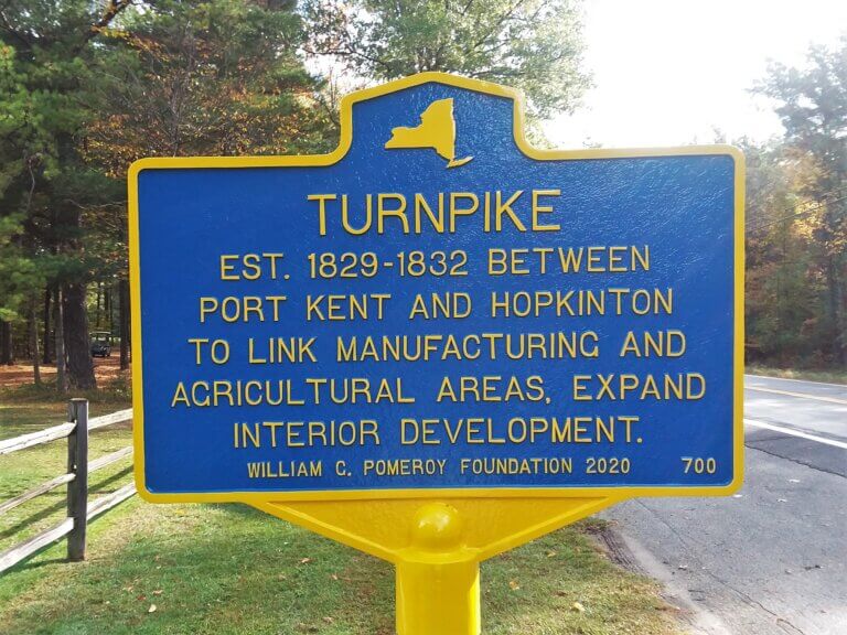
TURNPIKE
- Program
- Subject
- Location
- Lat/Long
- Grant Recipient
-
NYS Historic
-
Transportation
- 8 Fairway Dr, Keeseville, NY 12944, USA
- 44.520556, -73.415278
-
Anderson Falls Heritage Society
TURNPIKE
Inscription
TURNPIKEEST. 1829-1832 BETWEEN
PORT KENT AND HOPKINTON
TO LINK MANUFACTURING AND
AGRICULTURAL AREAS, EXPAND
INTERIOR DEVELOPMENT.
WILLIAM G. POMEROY FOUNDATION 2020
Established between 1829-1832, the Port Kent and Hopkinton Road, aka the Turnpike, was an amazing feat of modern engineering. Before the road was even constructed, the strategic benefits were easily recognized. The February 26, 1828 edition of The Troy Sentinel describes the impact that the proposed road might have on the local economy:
It unites, in the most direct manner that the ground will admit of, the fertile farming districts of the counties of Franklin and St. Lawrence, with the great manufacturing districts of Clinton and Essex counties.
The turnpike between Port Kent and Hopkinton was established through the use of existing roads and new construction. Connecting with Lake Champlain in the east, it linked manufacturing, agriculture, and other commerce among the communities of Ausable Forks, Black Brook, Franklin Falls, Loon Lake, St. Regis Falls, and Hopkinton. Initially there was only one toll booth on the turnpike. A second was added as road construction funds were not being raised quickly enough. The turnpike resulted in significant expansion and interior development in New York State.

